Cypress community response

Water damage in Cypress starts with an address-level check.

Cypress is a recognized community and search area, not an incorporated city with one municipal service boundary. Bring the exact property ZIP and incident details so availability and the right public contact can be checked accurately.

Call for water damage help(202) 555-0100

Availability, timing, scope, and pricing are confirmed by the independent provider.

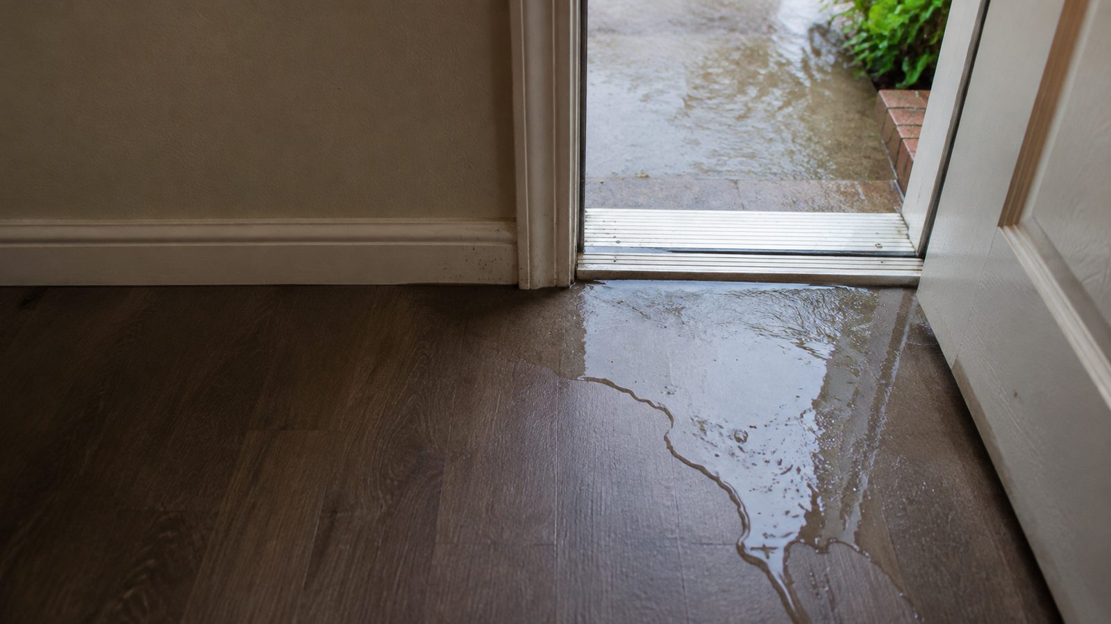
Shallow rainwater crossing an exterior doorway threshold onto an interior floor
Illustrative scene: a fresh threshold intrusion can spread water into nearby flooring and wall materials.

Practical guidance

Use local context to prepare the right next step

Treat Cypress as a community, not a city government

Public responsibilities can depend on the property location, county precinct, utility district, and drainage system. Do not rely on “Cypress” alone to identify the correct authority or provider territory.

Cypress Creek context changes the preparation

The Flood Control District identifies Cypress Creek and Little Cypress Creek as the watershed’s primary streams and maintains watershed-specific flood-reduction programs. Check official conditions when heavy rain or channel overflow may be relevant.

Describe the property problem separately

Tell the provider whether the source appears to be plumbing, roof entry, surface water, or an unknown path. The source and materials—not the community name—determine extraction and drying decisions.
Community and watershed orientation

Cypress is a community label across overlapping systems.

Start with the address, then identify the public system involved. Watershed context explains where rainfall drains; it does not assign a property contact or predict parcel risk.

  1. Community label

    Cypress

    Useful for orientation, but not one incorporated municipal government or a single public-service boundary.

  2. Address layer

    County, road and utility responsibility

    The responsible county office, utility district, or infrastructure operator must be confirmed for the exact address and issue.

  3. Watershed layer

    Cypress Creek and Little Cypress Creek

    Harris County Flood Control identifies these as primary streams in the Cypress Creek watershed, which extends into Waller County.

  4. Property layer

    Risk and private damage remain separate

    Watershed orientation cannot determine parcel flood risk, ownership, restoration coverage, or provider availability.

Responsibility key

  • Address confirmation determines the applicable jurisdiction.
  • Public infrastructure is separate from private-property work.
  • Watershed context is orientation, not parcel-level risk.

Common questions

Water damage questions, answered clearly

Why is the ZIP code especially important in Cypress?

Cypress is not an incorporated city with one municipal boundary. ZIP, address, utility, and provider territories can differ, so fit must be confirmed for the property.

Ready to explain what happened?

Call for water damage help in Houston.

Call for water damage help(202) 555-0100